
Farm access roads in Contrada Mongialino, Mineo – Sicily Rural Development Programme 2023-2027
Project data
- Client
- Mongialino farmers' association
- Location
- Mineo (CT)
- Period
- 2024 – 2025
- Funding
- Sicily Rural Development Programme 2023-2027
- Services
- Drone survey, detailed design in a BIM environment, permits
- Sector
- Road infrastructure
Description
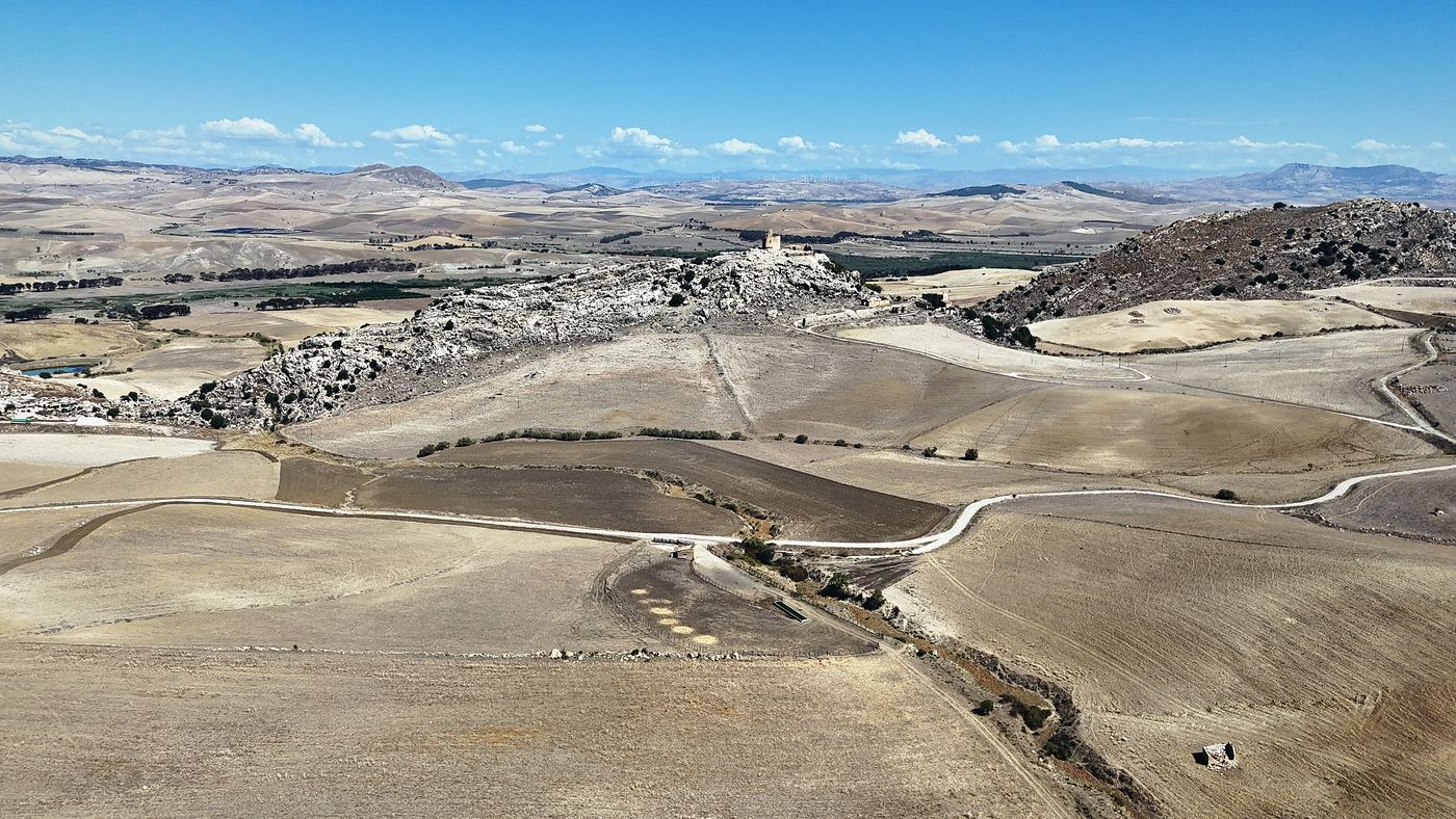
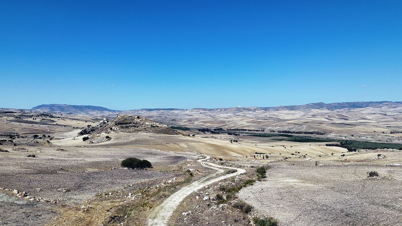
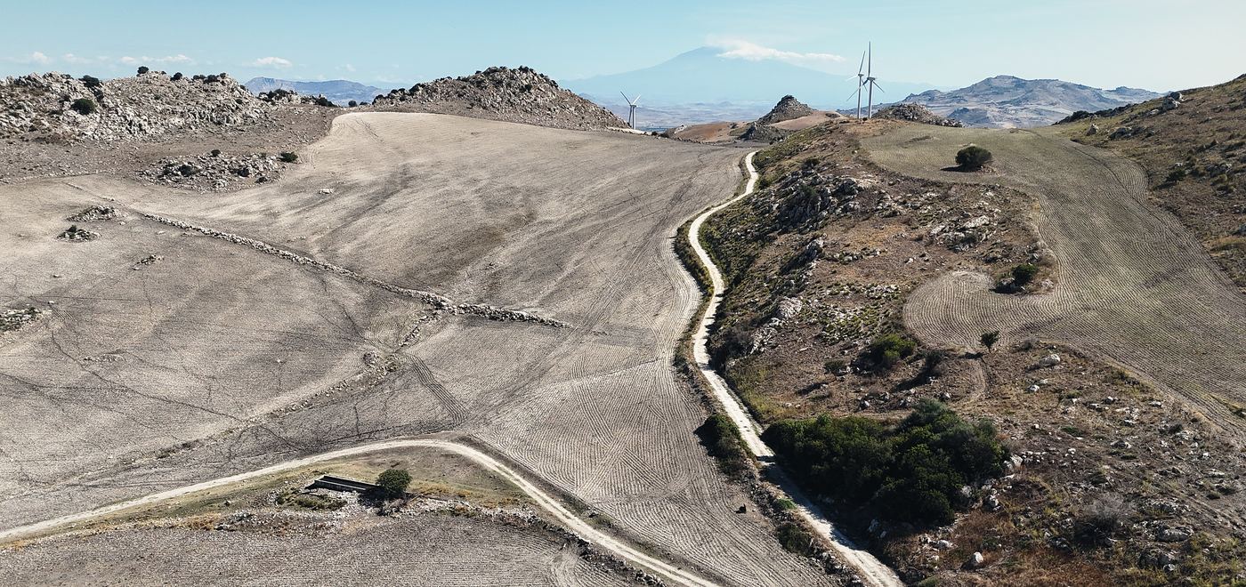
In the countryside between Mineo and Ramacca, on the Catania plain, a group of farms commissioned Rebuilding to design the access roads linking their holdings to the provincial road network, to be submitted for Rural Development Programme funding.
The alignment was defined on a digital terrain model from the August 2024 drone survey and developed in a BIM environment for infrastructure, including forestry and hydrogeological consents.